
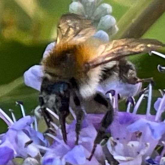
 "Ackerhummel" says Franz in habitat Garden on 19.07.2022. Bombus pascuorum (Bombus pascuorum) is a species of insect.
 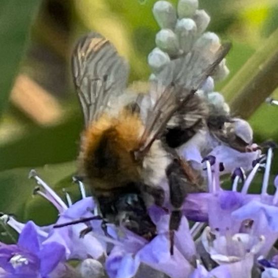 "Ackerhummel" says Franz in habitat Garden on 19.07.2022. Bombus pascuorum (Bombus pascuorum) is a species of insect.
 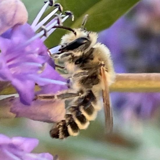 "Melitta leporina auf Mönchspfeffer" says Franz in habitat Garden on 19.07.2022. Melitta leporina (Melitta leporina) is a species of insect.
 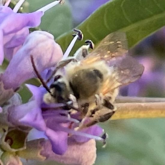 "Melitta leporina" says Franz in habitat Garden on 19.07.2022. Melitta leporina (Melitta leporina) is a species of insect.
 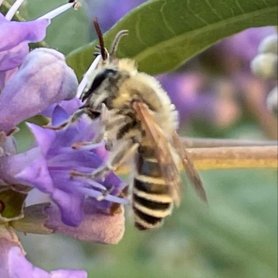 "Melitta leporina" says Franz in habitat Garden on 19.07.2022. Melitta leporina (Melitta leporina) is a species of insect.
 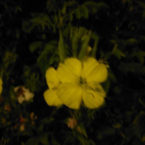 A discovery by Valerian in nature on 19.07.2022. Oenothera (Oenothera) is a genus of plants.
 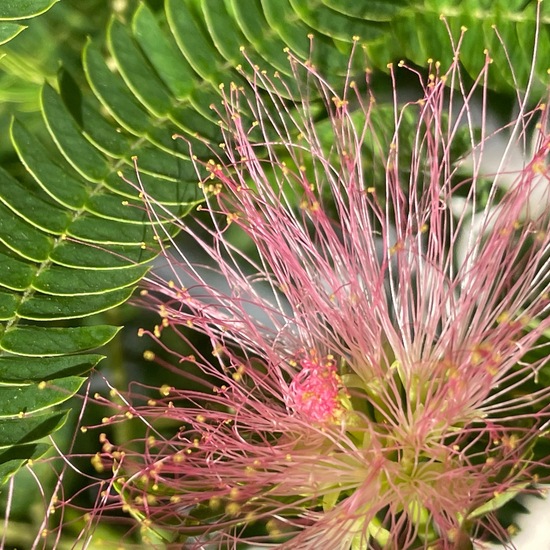 "Vollblüte beim Seidenbaum" says Franz in habitat Garden on 19.07.2022. Albizia julibrissin (Albizia julibrissin) is a species of plant.
 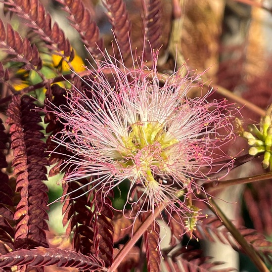 "Vollblüte beim rotblättrigen Seidenbaum" says Franz in habitat Garden on 19.07.2022. Albizia julibrissin (Albizia julibrissin) is a species of plant.
 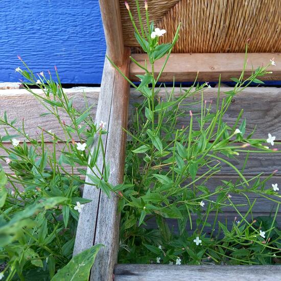 "Ich scheine ein Berg-Weidenröschen im Urstromtal der Elbe zu haben. ?" says Mamabird in nature on 19.07.2022. Epilobium montanum (Epilobium montanum) is a species of plant.
  "Gewöhnliches Seifenkraut (Saponaria officinalis) in Vollblüte" says Franz in nature on 18.07.2022. Saponaria officinalis (Saponaria officinalis) is a species of plant.
Hey, do you love Nature?
Observing and learning about nature is fun and can help to protect our environment. In the NatureSpots App, you can put up all kinds of nature sightings - from species to habitats. Join up and help to build a biodiversity data set and share your photos!
Create your account or download the NatureSpots App for your Smartphone now to join the community!