
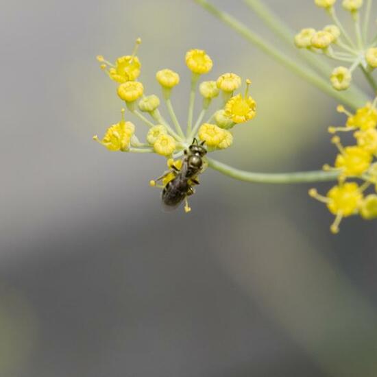
 "Lasioglossum spec." says Danny VG in habitat Garden on 20.07.2022. Unknown species.
  A discovery by Barbara Pfister in habitat Garden on 20.07.2022. Euplagia quadripunctaria (Euplagia quadripunctaria) is a species of insect.
 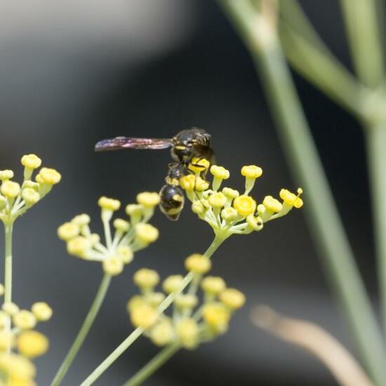 "Eumenes spec." says Danny VG in habitat Garden on 20.07.2022. Eumenes (Eumenes) is a genus of insects.
 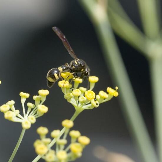 A discovery by Danny VG in habitat Garden on 20.07.2022. Eumenes (Eumenes) is a genus of insects.
 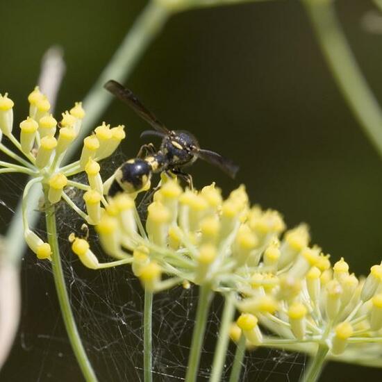 A discovery by Danny VG in habitat Garden on 20.07.2022. Eumenes (Eumenes) is a genus of insects.
 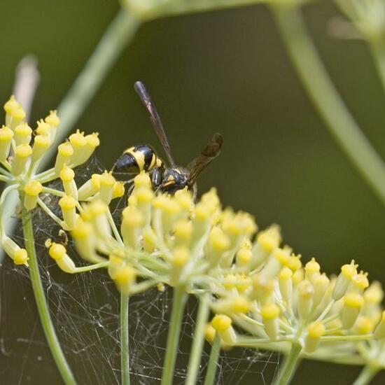 "Eumenes spec." says Danny VG in habitat Garden on 20.07.2022. Eumenes (Eumenes) is a genus of insects.
 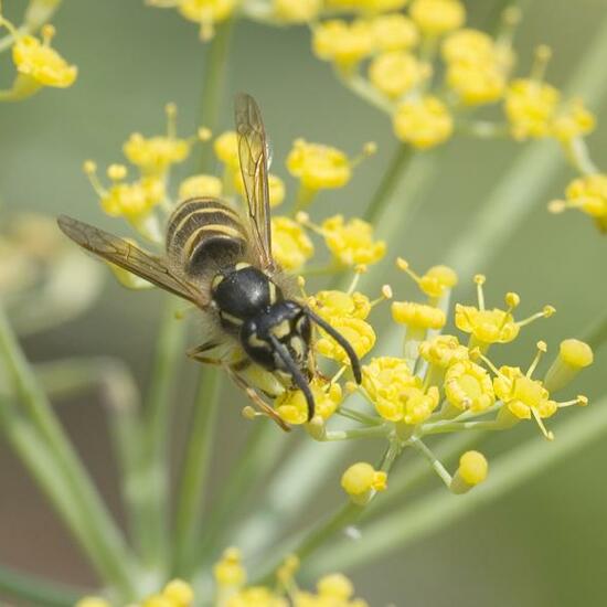 A discovery by Danny VG in habitat Garden on 20.07.2022. Vespula vulgaris (Vespula vulgaris) is a species of insect.
 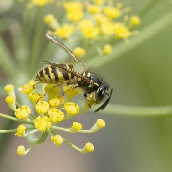 "Gemeine Wespe und eine sehr bösartige aggressive Wespe, die den Stich schnell nutzt." says Danny VG in habitat Garden on 20.07.2022. Vespula vulgaris (Vespula vulgaris) is a species of insect.
 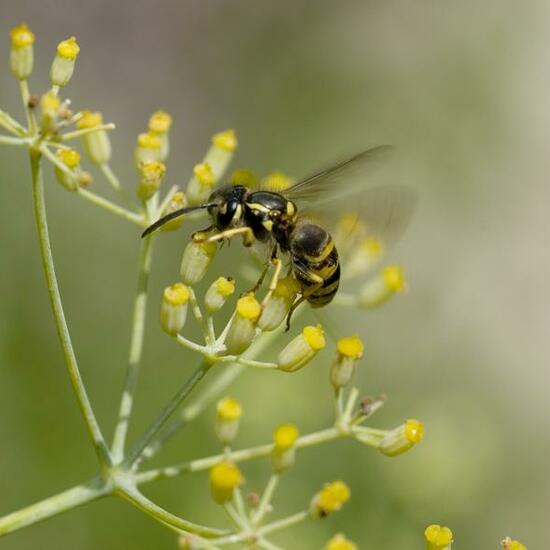 A discovery by Danny VG in habitat Garden on 20.07.2022. Vespula vulgaris (Vespula vulgaris) is a species of insect.
 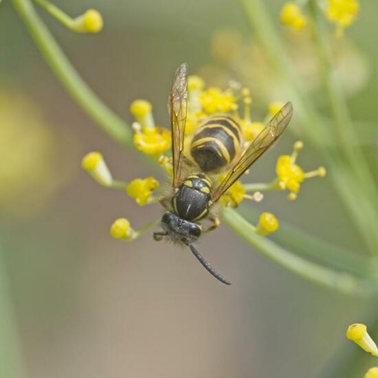 A discovery by Danny VG in habitat Garden on 20.07.2022. Vespula vulgaris (Vespula vulgaris) is a species of insect.
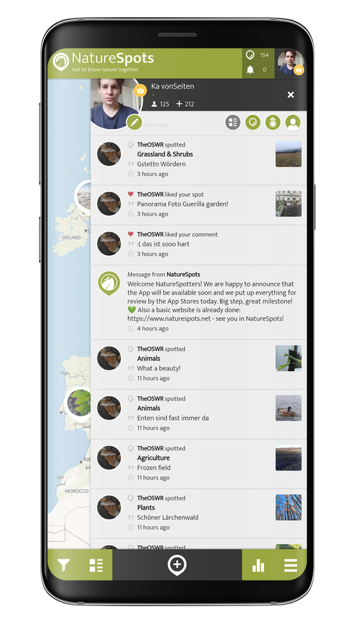
Hey, do you love Nature?
Observing and learning about nature is fun and can help to protect our environment. In the NatureSpots App, you can put up all kinds of nature sightings - from species to habitats. Join up and help to build a biodiversity data set and share your photos!
Create your account or download the NatureSpots App for your Smartphone now to join the community!